Field guide 01 · Commitment
Choosing Demanding Terrain
The right route is one you can complete with judgment intact, including the descent. A famous endpoint does not make its approach suitable.
Separate effort from exposure
Difficulty is not one measurement. A fit walker can find a narrow ridge psychologically demanding, while an experienced scrambler may underestimate a long approach. Assess distance, ascent, footing, navigation and exposure separately. Then ask how each changes when the surface becomes wet, cloud covers the landmarks or someone develops a knee problem.
Exposure describes consequences as much as steepness. A straightforward step beside a serious drop deserves more caution than the same movement on level ground. Do not use photographs of people standing near an edge as evidence that approaching it is appropriate. Stay well back from cliffs, especially in wind, and never rely on an unverified snow edge or cornice.
Norwegian route descriptions often use green, blue, red and black difficulty categories. These are route-grading terms, not assurances of suitability or current safety. Read the complete description and seasonal advice. A summer hiking classification does not cover snow travel, avalanche assessment or winter navigation.
Compare the commitment, not the reputation
This matrix is a qualitative planning aid, not an official grading table. Start points, transport arrangements and route variants change the day. Obtain current route details from the operator or local information service before departure.
| Route | Main commitment | What can change the decision | Preparation emphasis |
|---|---|---|---|
| Preikestolen, Lysefjord | Uneven climbing and an unguarded cliff-top area | Wet rock, ice, wind and congestion | Footing, edge discipline and daylight |
| Trolltunga, Hardanger | A long mountain day with sustained effort | Remaining snow, cloud and a slow return | Endurance, navigation and an early turnaround |
| Besseggen, Jotunheimen | A rocky ridge with exposed sections | Wind, visibility and boat logistics | Comfort on steep ground and route direction |
| Kjerag, above Lysefjord | Steep rock slabs and exposed mountain terrain | Slippery surfaces, strong gusts and seasonal access | Traction, retreat judgment and local advice |
None of these routes is a necessary introduction to the fjords. A lower path with secure footing can provide a more rewarding day than a crowded objective reached with no margin. Choose the experience your group can handle, rather than asking the least confident person to keep up.
Inspect the whole route
Mark junctions, steep sections, possible shelter and legitimate retreat options on a map. Check whether a route is out-and-back or depends on a ferry, bus or seasonal road. A missed connection can turn an ordinary delay into a difficult night.
Descent deserves explicit planning. Fatigue, loose stones and sore knees often make the return slower than expected. Avoid using another party's pace as your benchmark. Build your estimate around recent comparable outings with the same people and similar packs.
If your plan requires glacier travel around Folgefonna, roped climbing or travel on steep snow, it is no longer an ordinary walking plan. Obtain specialist training and appropriate guiding rather than improvising with hiking equipment.
Make retreat part of success
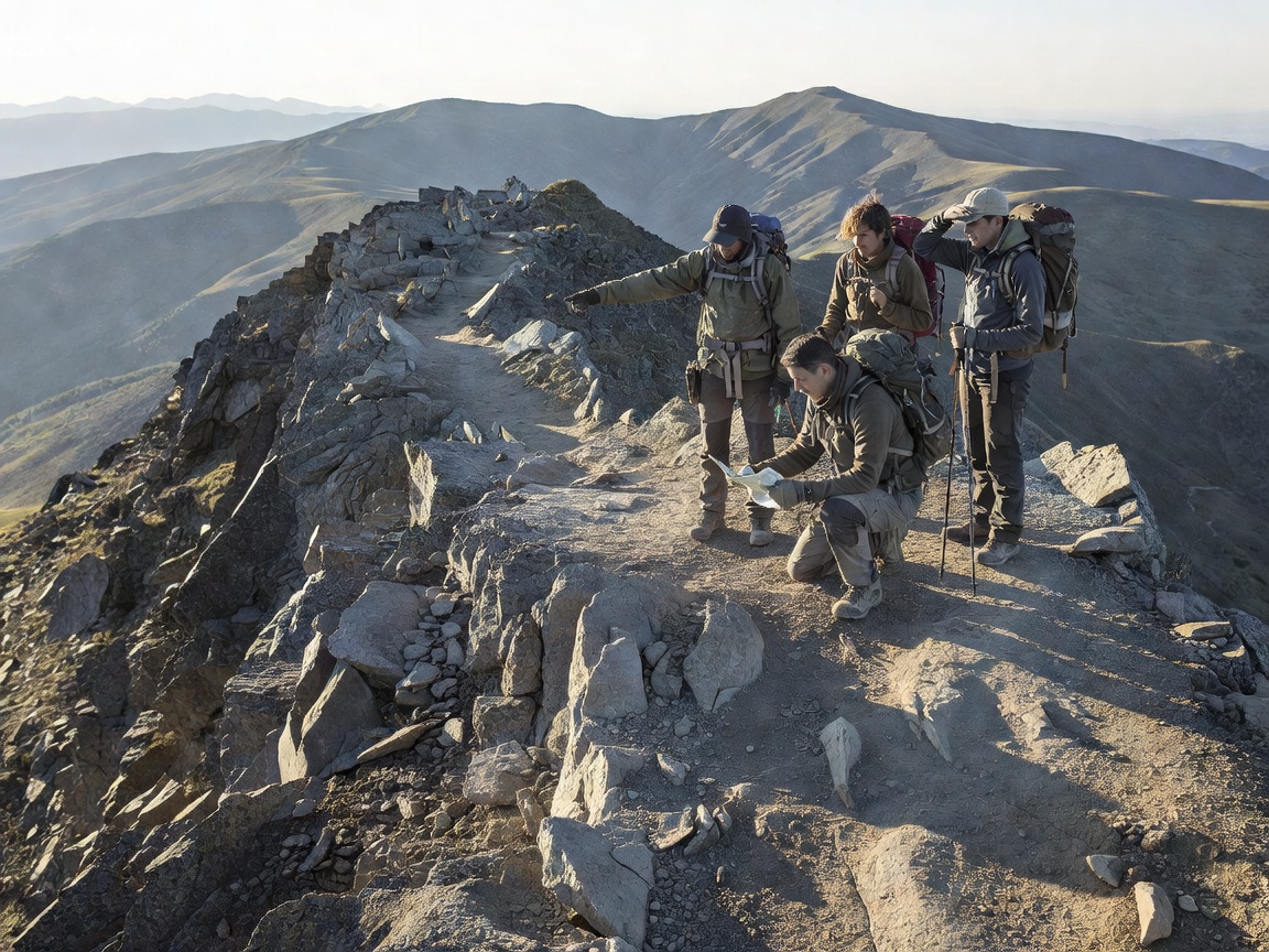
Agree on a turnaround time before the first difficult section, and connect it to daylight, transport and the group's realistic return pace. Add condition-based limits as well: an uncertain crossing, a slippery slab, lost visibility or sustained anxiety can justify turning around earlier.
Keep the group together where navigation and exposure matter. If someone cannot continue, do not send them back alone through terrain they already found difficult. Reassess as a group, choose the safest available option and communicate changes when possible. A summit or viewpoint is optional; maintaining the ability to return is not.
Use the Norwegian Trekking Association's mountain-safety guidance and current route information from UT.no as starting points. For destination-specific updates, consult the local route operator. Neither a route app nor this page confirms that a path is safe today.